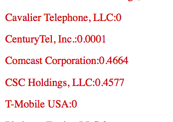
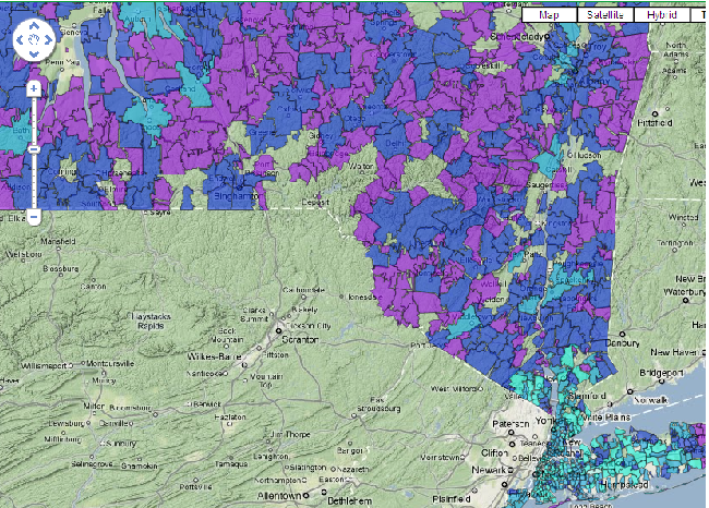
After tuning into parts of Google’s IO conference last month, news about version 3 of the Maps API slowly made its way into my waking consciousness. I had some time last week to explore this newer, cleaner Map interface as part of a project I’ve been thinking about. I wanted to get a handle on competition in the broadband sector, a topic I’ve been covering since the start of this blog, and was hoping to use visualization tools to get answers and also generate new questions.
While trolling the FCC’s Gov 2.0 sitelet, I came across files containing service provider competitive data. I then learned about the extensive data the FCC captures from carriers on a per zip code basis as part of its “Form 477” database. Some of the 477 statistics are publicly available, but much is still closed off, (Hey, FCC open those files!)
I just needed a way to render zip codes into geo data suitable for mapping. A few more Google searches led me to state-by-state files of zip code polygon paths at the US Census Bureau’s page of cartographic boundary data.
I had enough to get started.Continue reading


